
![]()
|
|
|
Here is a Map of Japan showing the Nuclear Sites around the country, most of which are Nuclear Power Plants. The Fukushima Daiichi plant which suffered the meltdown and radiation release can be seen on the east coast of the main island of Honshu, about 150 miles northeast of the Tokyo/Yokohama metro area. We have a regular station reporting from Sapporo on the island of Hokkaido, as well as intermittent stations form the Tokyo/Yokohama area on the main island of Honshu. 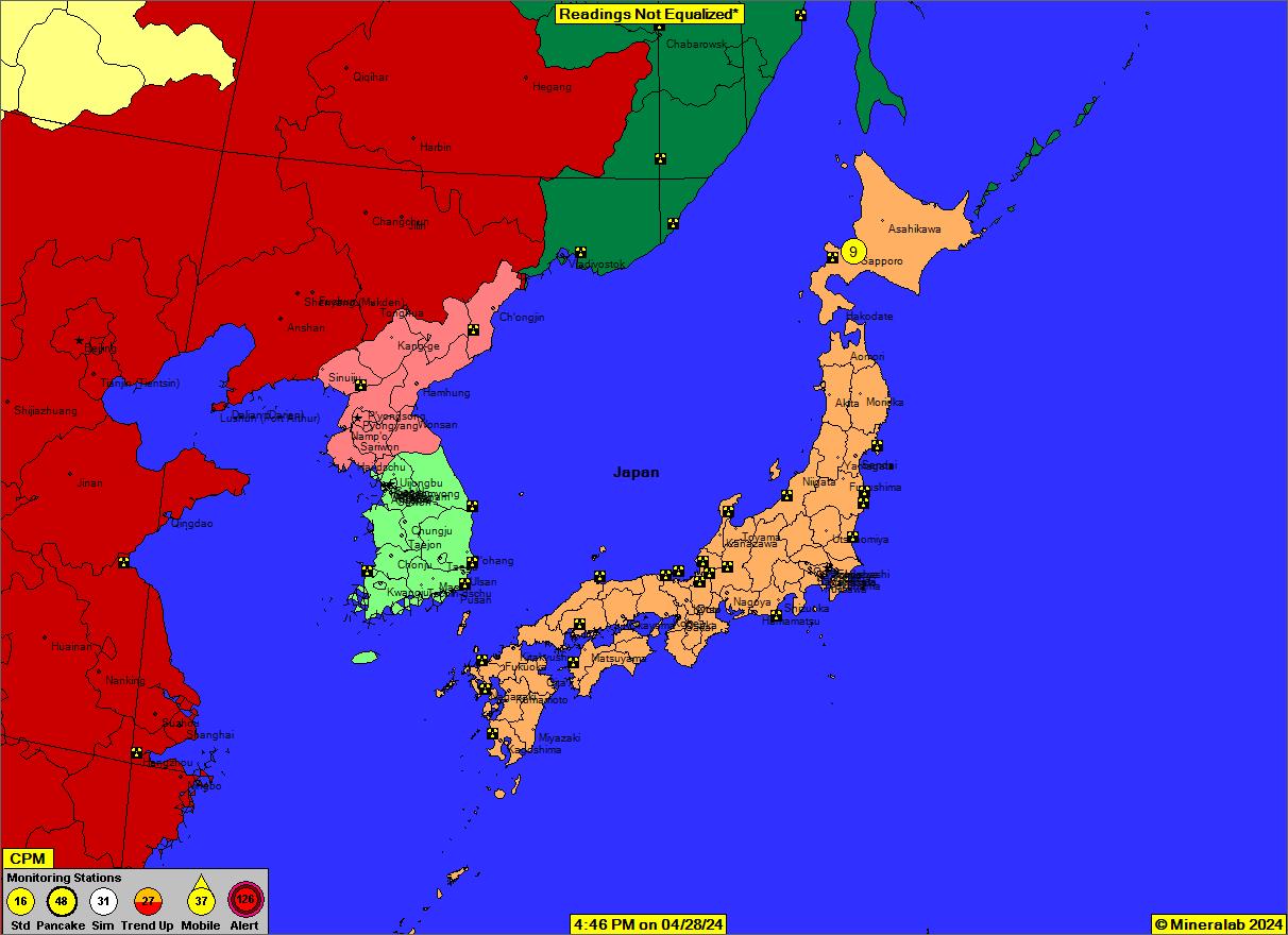
*Readings not Equalized means the Monitoring Stations are broadcasting the raw radiation count from their Geiger counters, without adjustment for different count rates existing between various Geiger counter designs. For instance, models built around a "Pancake" (see Map Legend) style of Geiger-Mueller tube typically have a 3 times count rate over Standard tubed models.
Below is a static image of the Radiation Map showing an Inset focused on the Fukushima Nuclear Power Plants on the northeast coast of the Island of Honshu, with Tokyo to the south for reference.
Back to the Radiation Network |